
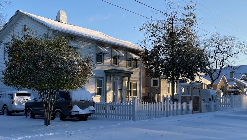
If you opened your door this morning and wondered if your little corner of San Antonio had magically been transported to New England, you’re not alone.
Overnight, 3-5 inches of snow blanketed an area east of Eagle Pass to San Antonio up the Texas Hill Country into Austin, according to the National Weather Service. Isolated pockets have reported up to 7 inches of snow.
Monday’s morning temperatures, which were in single digits and low teens, are the coldest on record since 1989. Tuesday morning? It’s going to be more of the same: fricking cold.
Among the cautions the NWS is sharing right now:
- Exposed pipes may burst if they’re not protected.
- Wind chill values this morning may be as low as -15 degrees, meaning hypothermia could quickly set in without proper protection.
- The nonprofit that coordinates Texas’ power grid warned that it may be forced to impose rolling outages on Monday and Tuesday due unprecedented electrical demand.
But other than that, folks, enjoy the winter wonderland. And if you forgot to stock up on food at the H-E-B, do not under any circumstances google what the Donner Party was.
Stay on top of San Antonio news and views. Sign up for our Weekly Headlines Newsletter.
Related Stories


This article appears in Feb 10-23, 2021.